Is the Aviation Logbook really free?
Yes. Logging flights, the route map, statistics, aircraft photos, milestones and CSV import/export are completely free – there is no subscription and no paid tier.
Do I need to install an app?
No. The logbook is a web app that runs in any modern browser on desktop, tablet and smartphone.
Who can see my flights?
Only you. Your flights are stored in your personal account and are not visible to other users.
Can I import my existing flight history?
Yes. Import your export from myFlightradar24, Flighty, OpenFlights, JetLovers, App in the Air or TripIt – the format is detected automatically, airports and airlines are matched and distances calculated. Flights already in your logbook are skipped.
Where do the aircraft photos and airline logos come from?
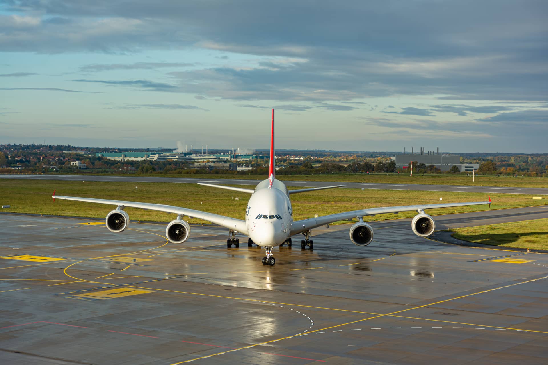
All photos come exclusively from Christian Böhme’s own photo gallery. An aircraft photo is only shown if airline and aircraft type (or the exact registration) match your flight; a travel photo only if it shows your destination. Airline logos are matched by IATA code.
How is the distance calculated?
The great-circle distance between the two airports is calculated from a database of more than 5,400 airports. You can override it manually at any time.
How is the CO₂ estimate calculated?
It multiplies the distance by an average emission factor per passenger-kilometre (lower for long-haul flights) and a factor for the travel class. Non-CO₂ effects are not included – the value is a rough guide.